zoom_in Drag to zoom
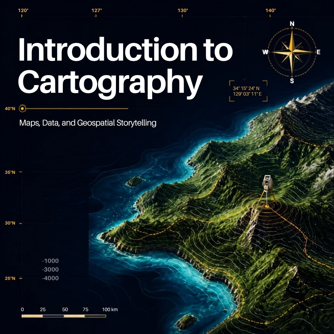
Introduction to Cartography: Maps, Data, and Geospatial Storytelling - Fall 2026
$75.00 / unit
Introduction to Cartography: Maps, Data, and Geospatial Storytelling
Course Information
Students will develop foundational cartographic knowledge and skills by collecting, analyzing, and visualizing geographic data in map form. Through instructor demonstrations, practical exercises, and exploration of public-domain data sources, participants will learn how maps support decision-making and problem-solving. Students will create a simple geospatial project and present their findings during the final class session.
Dates: September 30, October 7, October 14, October 21
Time: Wednesdays, 5:30 p.m. - 7:00 p.m.
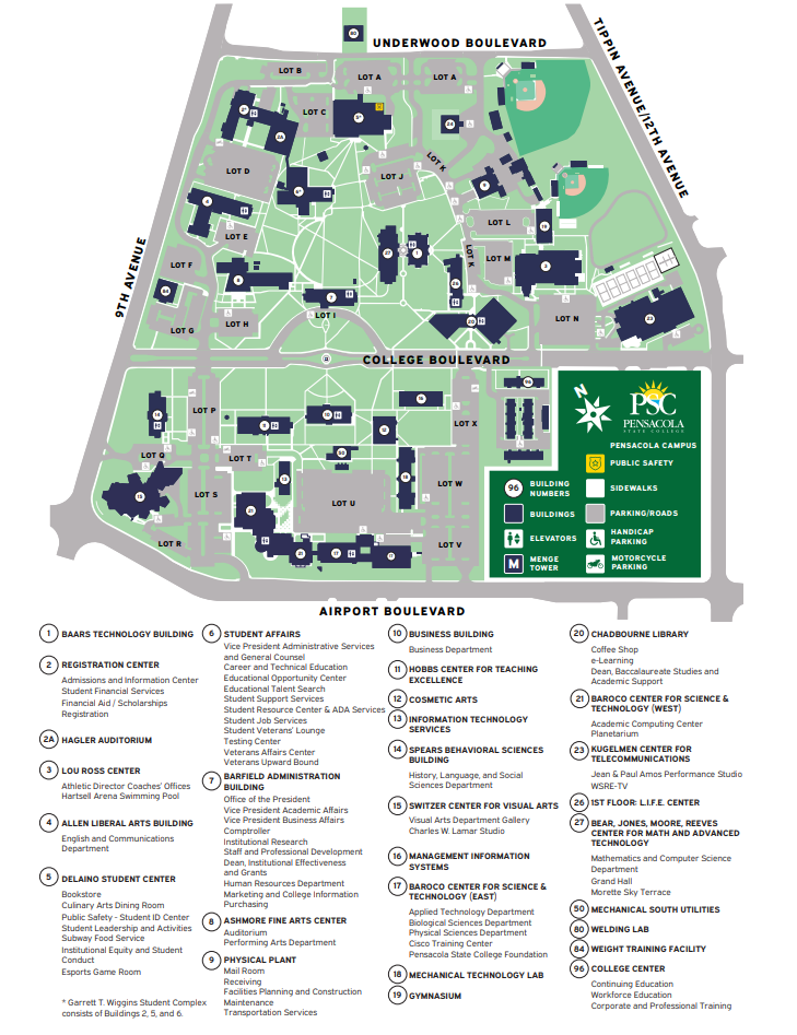
Location: Pensacola State College, Pensacola Campus
Building 96, Room 9663
Duration: 4 Weeks (1.5 Hours per Week)
Tuition: $75
Week 1: Foundations of Cartography
- Fundamental principles of cartography
- Why maps are useful
- How maps support problem-solving and decision-making
- Understanding orientation, scale, and geodetics
- Introduction to cartographic elements
Week 2: Data Acquisition and Mapping Resources
- Sources of public-domain geographic data
- Data types and formats
- Evaluating data quality and reliability
- Introduction to cartographic tools and online mapping resources
- Overview of satellite imagery and aerial photography
Week 3: Creating Maps and Story Maps
- Datums, projections, and coordinate systems
- Applying imagery to enhance maps
- Introduction to digital mapping applications
- Learning cartographic tools
- Creating simple story maps and geospatial products
Week 4: Applied Cartography Project
- Developing a map-based solution to a real-world problem
- Mobile mapping applications and field data collection concepts
- Case studies in cartography
- Student project presentations
- Discussion of advanced cartography and GIS learning opportunities
Optional Enrichment Activities (Outside of Class)
- Visit to the Escambia County Emergency Operations Center
- Attendance at an Escambia County GIS User Group meeting
- Geocaching or survey marker field exercise
Instructor Bio
Kerry N. Riley is a retired cartographer and geospatial analyst with extensive experience supporting military operations and law enforcement agencies. He also serves as an adjunct instructor at the FBI Academy. Mr. Riley holds a Bachelor's degree from the University of Utah, Master's degrees from Brigham Young University and the Defense Intelligence College, and is a graduate of the Air War College.
**No textbook is required but students will need to bring a personal laptop computer for use in collecting data and using mapping software. A personal cell phone will be needed to download geospatial related apps